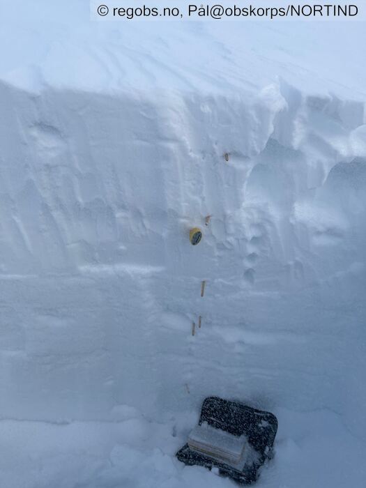
Image 1 of 8 Of: Snow Profile Copyright: Pål@obskorps/NORTIND
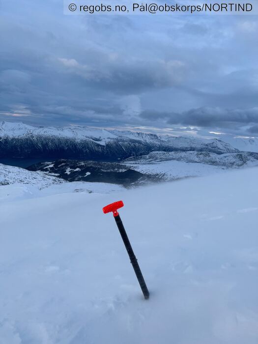
Image 2 of 8 Of: Snow Cover Copyright: Pål@obskorps/NORTIND Comment: Moderat snøfokk.
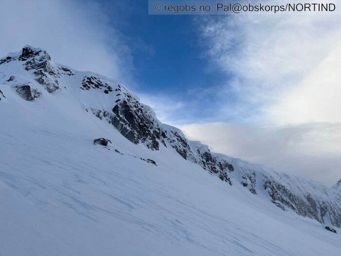
Image 3 of 8 Of: Snow Cover Copyright: Pål@obskorps/NORTIND Comment: Føyker godt fra toppen av Åbittind inn i leheng i NØ retning
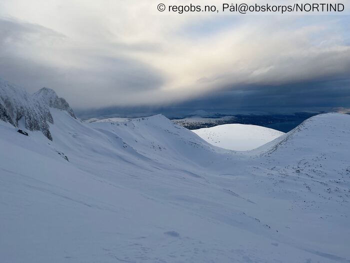
Image 4 of 8 Of: Snow Cover Copyright: Pål@obskorps/NORTIND Comment: Noen eldre skredrester i NØ og Ø vendt botn. Skavlbrudd
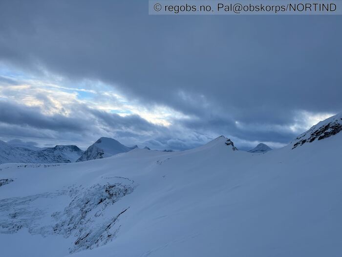
Image 5 of 8 Of: Weather Copyright: Pål@obskorps/NORTIND
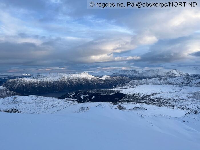
Image 6 of 8 Of: Weather Copyright: Pål@obskorps/NORTIND
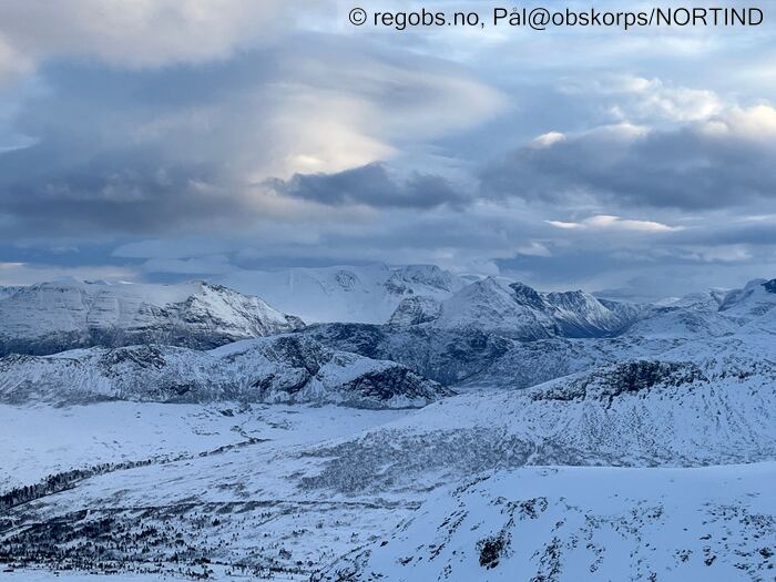
Image 7 of 8 Of: Weather Copyright: Pål@obskorps/NORTIND
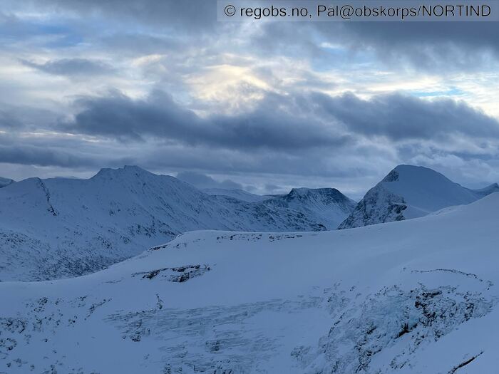
Image 8 of 8 Of: Weather Copyright: Pål@obskorps/NORTIND
Avalanche Activity
• 2. Jan. 18-24 (+01:00) • Loose dry avalanche • Few (2-5). 1 - Small. Spontaneous release • Some steep slopes. N, NE, E, W, NW. Above 1000 masl • I hovedsak str 1 løssnøskred. Ser nok antydning til 2 små flakskred. Ser også ut til å være str 1 evt 2. Ikke dagsferskt. Mest sannsynlig fra vind og noe nedbør i går. I meget bratt og bratt terreng.
Weather
• No precipitation • -1 °C • 10 m/s from SW ↗ • 90% clouds • Mildt vær og en del vind. Blåser kraftig i kasta (15 - 16 m/s) her. Meget varierende temperatur i regionen. 2 plussgrader på på Oppdal på 640 moh kl 14:45 og ca det samme i dag tidlig.
-1 grad på 1260 moh. 6 plussgrader på parkeringa, 1 plussgrad og mye snø på trærne på veg opp mot parkeringa på ca 130 moh. 0 grader på Lønset.
Snow Cover
• 190 cm • Moderate snow drift • Snow line at 1 masl • Storm slab (soft slab) • Dry • Varmen har virket høgt opp her på fjellet og det er tynn bruddskare høgt til fjells (ca 1150). Denne vil mest sannsynlig bli mye borte (tørke ut) ved kaldt og klart med påfølgende snøvær på onsdag. på ca 1100 moh er det tørr snø under tynn skare, lenger ned er snøen fuktig under og deretter våt. Det har skapt noe begredelig skiføre akkurat her og nå.
Tests
• ECTN10@11cm(Q2) • Medium • Lite spenninger og bruddet forplanter seg ikke her. Får ikke noe tegn fra løsere lag (1F) under skare. Heller ikke med spaden bak, da bryter det ved bakken
Snow Profile
• Persistent weak layer: below slab • 9 temperature points observed
Avalanche Problems
• Dry slab avalanche • Buried weak layer of new snow • Within half a meter • The overlying slab is soft. A big and identifiable crystal in the weak layer. • Easy to trigger • 2 - Medium • Some steep slopes N, NE, E, SE, NW above 1000 masl • Mildt vær stabiliserer fokksnøen relativt raskt. Skred vil mest sannsynlig i hovedsak begrenses til str 2.
Avalanche Danger Assessment
• Unngå leområder hvor det samler seg fersk fokksnø i høgfjellet. Sterk vind og litt nysnø kombinert med snøen som falt søndag har ført til at det har dannet seg ferske fokksnøflak i fjellet. Høye temperaturer gjør at fokksnøen vil stabilisere seg fort, men det er fortsatt mulig å løse ut skred i fokksnøen fra siste dager. Der det evt regner på snødekket kan vi få naturlig utløser skred • Stabiliserende til i morgen ved kaldt rolig vær, gjennfrysing og utstråling. Deretter påfyll med snø til onsdag som danner mer ustabilt fokksnøproblem igjen. Tynn snerk på snøen vil nok bli mye borte ved uttørking og deretter snø. • 2 Moderate • Forecast too high • Varselet er godt beskrevet. Tror det begrenser seg til str 2 skred i noen heng i dag.

