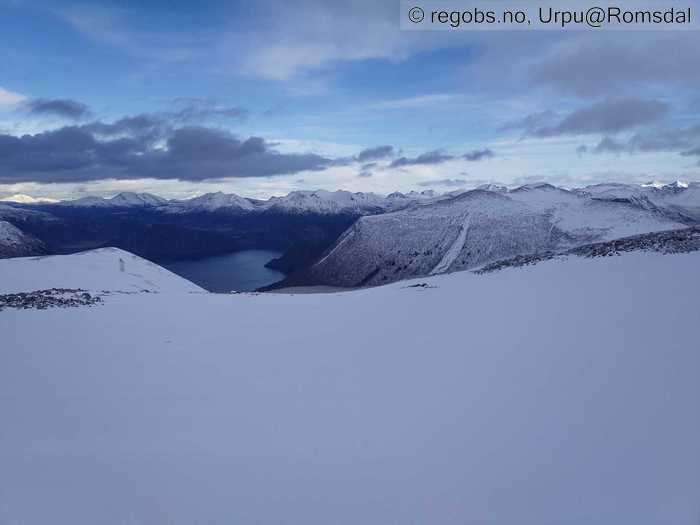
Image 1 of 7 Of: Snow Cover Copyright: Urpu@Romsdal
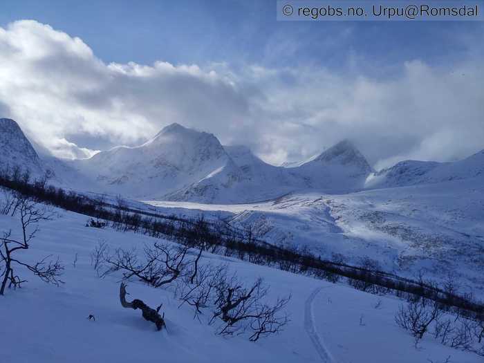
Image 2 of 7 Of: Snow Cover Copyright: Urpu@Romsdal Comment: Bra med føyk idag.
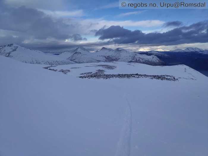
Image 3 of 7 Of: Snow Cover Copyright: Urpu@Romsdal
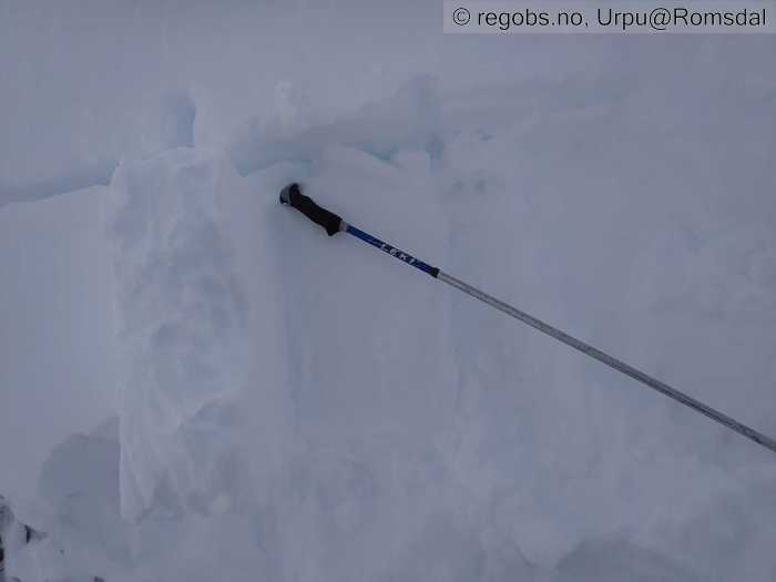
Image 4 of 7 Of: Tests Copyright: Urpu@Romsdal
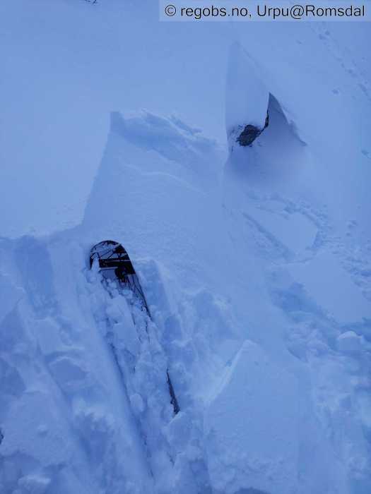
Image 5 of 7 Of: Avalanche Problems Copyright: Urpu@Romsdal Comment: Mer sprekking i dag på tirsdag enn i går på mandag .
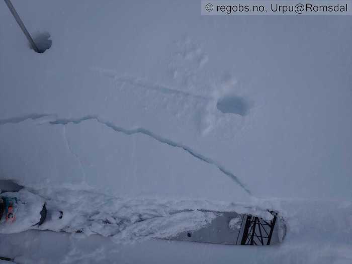
Image 6 of 7 Of: Avalanche Danger Assessment Copyright: Urpu@Romsdal Comment: Smuldrete skare knekker under nysnøen og skaper sprekking . Fra ca.600
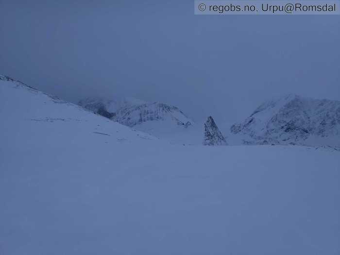
Image 7 of 7 Of: Avalanche Danger Assessment Copyright: Urpu@Romsdal Comment: Ble litt begrensa sikt og flatt lys etterhvert .
Avalanche Activity
• 11. Feb. During the day (+01:00) • No avalanche activity • Ingen ferske skred å se.
Snow Cover
• 100 cm • Moderate snow drift • 5 cm • Elevation of new snow 200 masl. Snow line at 300 masl. Layered snow begins at 600 masl • Storm slab (soft slab) • Dry • Komt noen cm nysnø siste døgn. Snødekke er kaldare i dag enn det var i går. Mer vindtransport også. Det er stedvis mye snø (formasjoner som samler snø og der det er lasta siste måned) , men så er det også steder der skare er blåst fram og steiner stikker fram.
Tests
• LBT@17cm(Q2) • Nedføyket nysnø som svikter lett.
Snow Profile
• 1 test connected to snow profile • Fra ca 1040 NØ / Ø • 5 Stratigraphy layers • 6 temperature points observed
Avalanche Problems
• Dry slab avalanche • Buried weak layer of new snow • Within half a meter • The overlying slab is soft. A big and identifiable crystal in the weak layer. • Easy to trigger • 2 - Medium • Some steep slopes N, NE, E, SE, S above 600 masl • Mer sprekking i dag enn på mandag , men fortsatt ikke skytende . Kaldare øverste lagdeling nå , og ikke så tam og seig som i går .
Avalanche Danger Assessment
• Det var en nokså vindfull dag i fjellet i dag på tirsdag . Betydelig mer vindtransport i dag enn i går . Kaldare vær også , og det blir danna kantkorn i snøen . Ikke tydelig problem enda likevel . Mer sprekking i dag , men aldri skytende . Lett å tråkke ut små flak på testkanter. Kan nok bli str 2 skred i noen heng nå . • Stigende med meldt vær , men gjenstår å se om det kan bli str 3 skred . • 2 Moderate • Forecast correct • Spot on .

