About the Varsom app and Regobs
What is it?
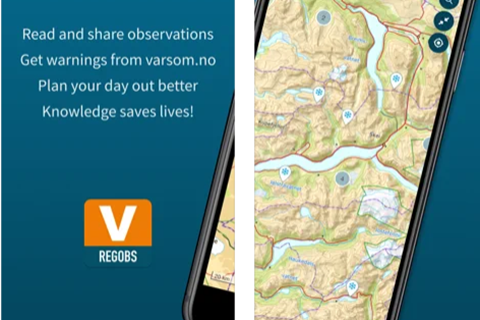
The Varsom mobile app is your source of observations, hazard maps, and warnings. The app uses Regobs, an open system for sharing observations related to natural hazards worldwide.
The Varsom app shows hazard maps, hazard warnings from Varsom.no (Norway and Svalbard), and weather forecasts from Yr.

The main purpose is to enable people to share observations of natural hazards online. Observations of snow (avalanches, weather), soil (landslides), water (floods and droughts), and ice (lake ice) help our natural hazard warning services.
The app is used by most users to submit and access observations, but you may also use the regobs.no website or its API. The app provides access to avalanche, lake ice, flood, and landslide warnings for Norway, as well as relevant hazard maps, such as avalanche terrain, and offline maps for use where there is no cell phone coverage in Norway and Svalbard.
The Varsom.no web portal is designed to be your primary source of warnings and knowledge of natural hazards. It provides access to all warnings from both NVE and MET in Norway and Svalbard, as well as great educational resources (in Norwegian).
How to get started?
Download the app. Get an NVE account.

Step 1 Download the Varsom app from App Store or Google Play. The app provides access to recent observations, current warnings, and offline maps of hazards and topography.
Step 2 Submit your observations. You need to get an NVE account. It is important to do this before leaving the beaten track.
How to get more information?
ISSW paper. Online resources.

Download the app from App Store (iOS) or Google Play (Android)
Read about the system and several use cases in our ISSW2018 paper https://arc.lib.montana.edu/snow-science/objects/ISSW2018_O18.1.pdf.
Read about data and terms of service and about Regobs in Norwegian.
Access observations from your computer using our API or use Regobs.no.
Your first observation?
What to observe? Snow. Avalanche. Weather. Landslide. Water. Lake ice.

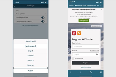
Make sure you are logged in the first time, later we will help you stay logged in.
To log in you need an NVE account.
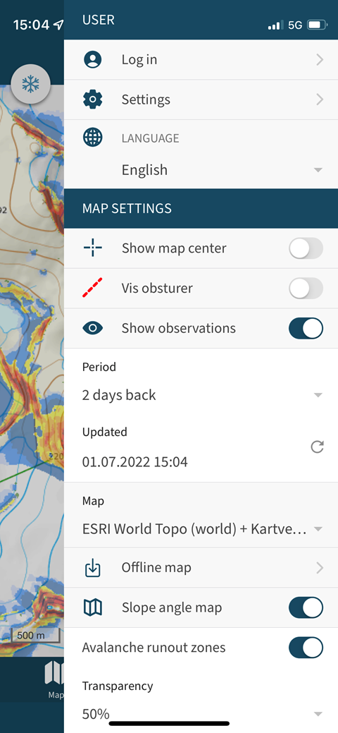
If you are interested in snow, we recommend turning on the slope angle map to help recognise avalanche terrain in Norway and Svalbard.
Slope angle and topographic maps are available offline, make sure you download your area of interest before you go.
NB! Offline maps and current warnings are available for Norway and Svalbard only.