Image 1 of 6 Of: Snow Profile Copyright: Torbjorn@obskorps
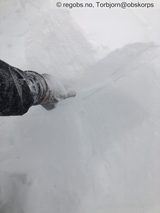
Image 2 of 6 Of: Snow Profile Copyright: Comment: Bryter nokså lett i nedføyket nysnø, både under ECT og LBT. Blokka skiver seg også lenger ned, i eldre fokksnøsjikt.
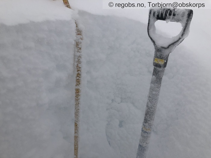
Image 3 of 6 Of: Snow Cover Copyright: Comment: Fokksnø og snøfokk.
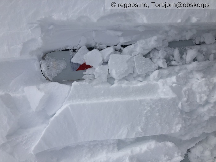
Image 4 of 6 Of: Snow Cover Copyright: Comment: Snødekket skiver seg opp i tynne lag, rundt tregrensen. Ingen forplantning eller drønn.
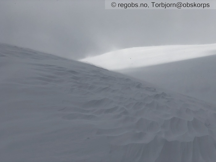
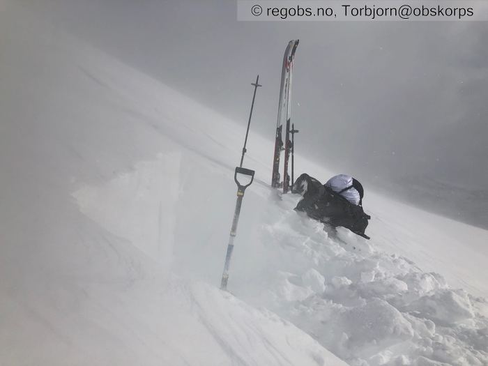
Image 5 of 6 Of: Weather Copyright: Comment: P618, Kvalhornet. Kuling, snøfokk og solgløtt.
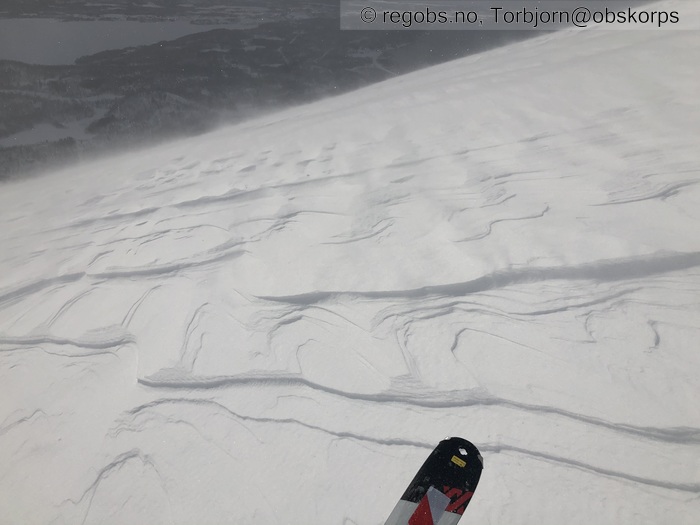
Image 6 of 6 Of: Snow Cover Copyright: Comment: Vindpakket og hardt dekke over tregrensen.
Avalanche Activity
• 13. Apr. During the day • No avalanche activity • Snøfokk og begrenset sikt. Dessuten begrenset med bratt skredterreng langs ruten.
Weather
• No precipitation • -2.1 °C • 18 m/s from NE ↙ • 80% clouds • Vind dreiede mellom nord og øst. Enkelte solgløtt. Opptil sterk kuling i høyfjellet.
Snow Cover
• Moderate snow drift • Wind slab (hard slab) • Dry • Snøfokk i høyfjellet gir moderat-stor oppsamling i leområder. Snøfokk også under tregrensen, men den gir mindre oppsamling. Eksponerte sider er dels avblåst til skarelag, mens fokksnø har samlet seg i leområder. Under tregrensen er snødekke vindpakket mykt. I lavlandet er dekket fuktig (M) og har fått en nesten seig konsistens.
Snow Profile
• Blokk bryter opp i flere lag under spadetest. Sterk kuling og snøfokk på gravepunkt, derfor en noe enklere observasjon her. • 5 Stratigraphy layers
Avalanche Problems
• Dry slab avalanche • Buried weak layer of new snow • Within half a meter • The overlying slab is soft. • Easy to trigger • 3 - Large • Some steep slopes S, SW, W above 400 masl
Avalanche Danger Assessment
• Moderat-stor pålagring, skredstørrelse opptil 3 og utbredelse få-noen heng gir faregrad 3-. • Milde temperaturer vil bidra til å stabilisere snøen som nå samler seg opp i lesider. • 3 Considerable

