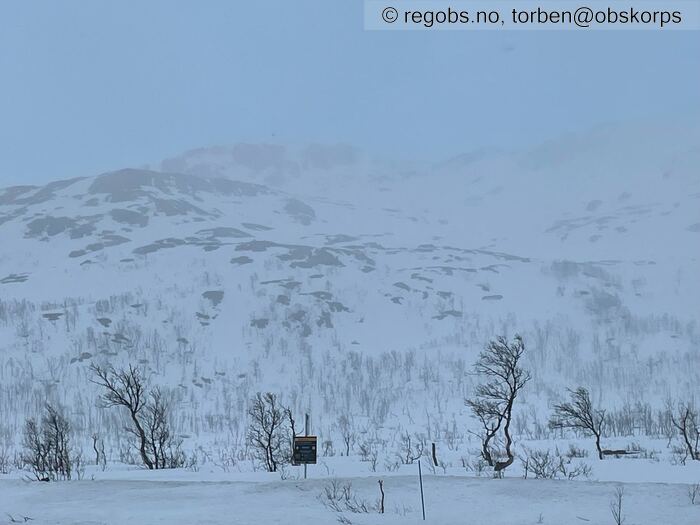
Image 1 of 9 Of: Weather Copyright: torben@obskorps Comment: Mot steinskardtind fra parkering ved start
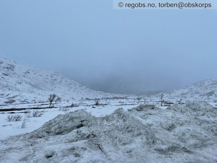
Image 2 of 9 Of: Weather Copyright: torben@obskorps Comment: Ersfjord
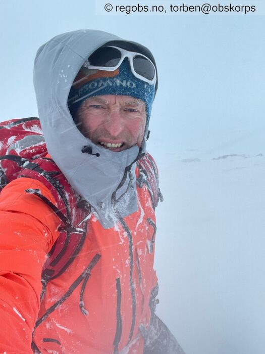
Image 3 of 9 Of: Weather Copyright: torben@obskorps Comment: Fra obspungt 💨💨💨❄️❄️❄️☃️
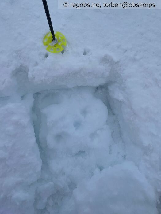
Image 4 of 9 Of: Tests Copyright: torben@obskorps Comment: Pencil skare på 1F hard MF.
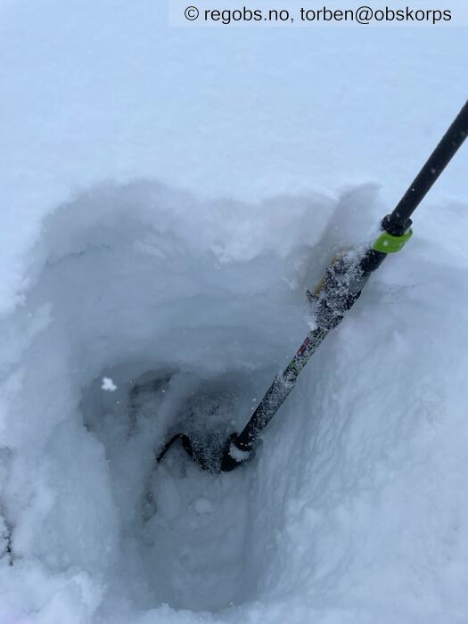
Image 5 of 9 Of: Tests Copyright: torben@obskorps Comment: Snødekket er fuktig helt til bunn. Her Ca 40cm
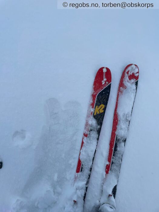
Image 6 of 9 Of: Avalanche Problems Copyright: torben@obskorps
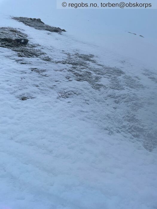
Image 7 of 9 Of: Snow Cover Copyright: torben@obskorps Comment: Fuktig snø på isskare
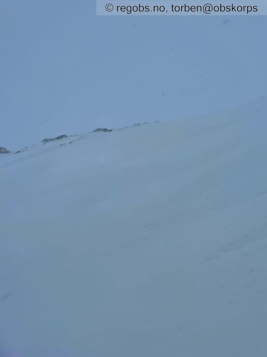
Image 8 of 9 Of: Snow Cover Copyright: torben@obskorps Comment: Snødekke i høyden
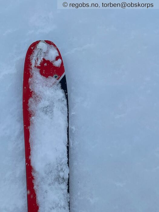
Image 9 of 9 Of: Snow Cover Copyright: torben@obskorps
Danger Sign
• Much water in the snow • Område: Generelt på fjellet. Beskrivelse: Tenker dette er aktuelt opp mot 450-550moh
• Recent snowdrift • Område: Generelt på fjellet. Beskrivelse: Gjelder fra Ca 500-550moh og opp
Avalanche Activity
• 18. Mar. During the day (+01:00) • No avalanche activity • Men bortimot ingen dikt i dag, har ikke oversikt over området
Weather
• Sleet • 16 m/s from S ↑ • 100% clouds • Veldig mye vær i dag. Regn fra start og opp til Ca 350-400moh. Over dette overgang til sludd. Fra 550-600moh er det moderat til kraftig bakkefokk
Snow Cover
• Moderate snow drift • Wet loose snow • Moist • Gjennomvåt snødekke opp til Ca -400moh tenker jeg. Fra Ca 500 moh tenker jeg overgang våt/fuktig er. Fra 550-600moh er det moderat til kraftig bakkefokk. Ligger innføyka fuktig fokksnø flere plasser (10-20cm) Men der vinden tar mest og over kuler/konvekser er den gml mildværs skara fremme. Den "nye" fuktig fokksnøen binder sex generelt godt til denne skaren.
Egentlig overraskende godt skiføre, hvis du ser bort fra fullstendig flattlys og mye vær😳
Tests
• LBT@10cm(Q3) • Middels binding. Fikk å tatt noen kjapptester og de viser stortsett det samme. Den overliggende skaren løsner fra MF under. Litt varierende hvor lett det løsner, men sitter generelt godt
Snow Profile
• Ikke vær eller forhold for det i dag 😳
Avalanche Problems
• Loose wet avalanche • Loose snow • Difficult to trigger • 1 - Small • Some steep slopes N, NE, E, SE, S, SW, W, NW below 500 masl
• Wet slab avalanche • Poor bonding between crust and overlying snow • Within half a meter • The overlying slab is soft. • Difficult to trigger • 2 - Medium • Some steep slopes N, NE, E, W, NW above 500 masl • Gjelder noen isolerte og noen sektorer. Men pga mye vær velges dette. Er generelt ikke mye innblåst i høyden og den sitter generelt godt til det gml snødekket
Avalanche Danger Assessment
• Mye vær i fjellet nå. Det blåser kraftig og er mye snø i bygene. Dette gjør at det vil være lokale variasjoner ifb med hvor skredproblemet er utbredelse av det. 🤔. Opp til Ca 450-500moh er det absolutt mulig å løse ut små våte løssnøskred. • Det er meldt mere vær, nedbør(regn) og stigende temp. Dette vil øke FG , og muligens endre/øke sektorene der skredproblemene er🧐. Tenker og at mulig høyde for våte løssnøskred vil øke til opp mot Ca 600-700moh. Fokksnøproblemet i høyden vil nok og øke, samt at muligheten og for større skred (str 3) utbredelsen vil nok og muligens øke?🤔
Så mulig kino og kafé besøk er helgas bæste tips 👍 • 2 Moderate • Forecast correct • 👍❄️💨💦⛷☃️🥷

