Image 1 of 13 Of: Weather Copyright: barbro@obskorps Comment: På 740moh er det dårlig sikt mot toppen av Middagsfjellet.
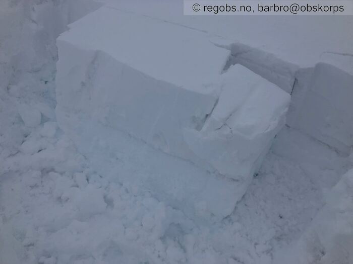
Image 2 of 13 Of: Tests Copyright: barbro@obskorps Comment: ECT @ 740moh
Image 3 of 13 Of: Snow Cover Copyright: barbro@obskorps Comment: Mot Ø - Nordheia
Image 4 of 13 Of: Snow Cover Copyright: barbro@obskorps Comment: Mot SØ - Middagsfjellet
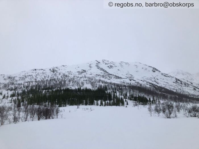
Image 5 of 13 Of: Snow Cover Copyright: barbro@obskorps Comment: Mot S - Middagsfjellet
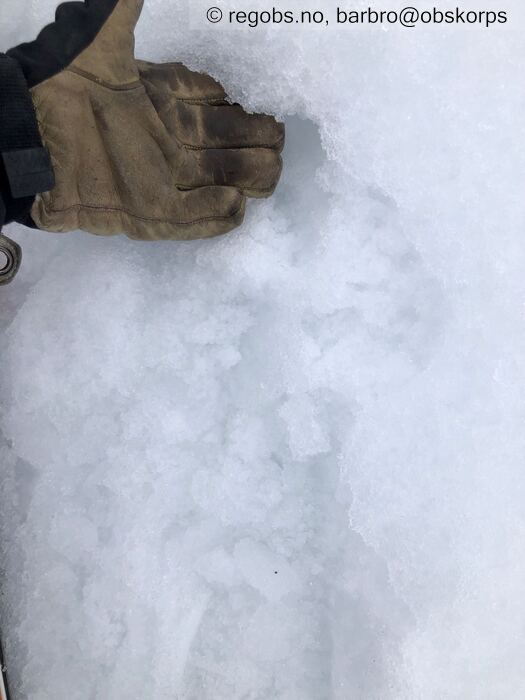
Image 6 of 13 Of: Snow Cover Copyright: barbro@obskorps Comment: 350moh: Is-skare
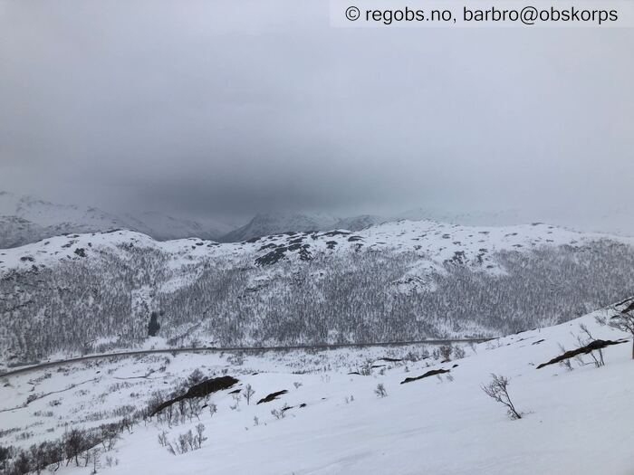
Image 7 of 13 Of: Snow Cover Copyright: barbro@obskorps Comment: Mot NØ
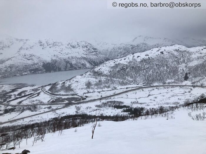
Image 8 of 13 Of: Snow Cover Copyright: barbro@obskorps Comment: Mot N
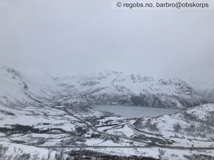
Image 9 of 13 Of: Snow Cover Copyright: barbro@obskorps Comment: Mot NV
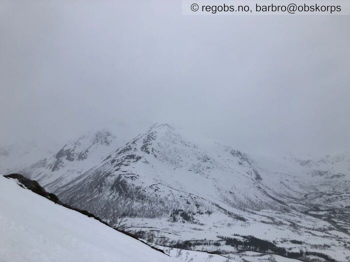
Image 10 of 13 Of: Snow Cover Copyright: barbro@obskorps Comment: Mot V - Botntindan
Image 11 of 13 Of: Snow Cover Copyright: barbro@obskorps Comment: 400moh: Snødekke
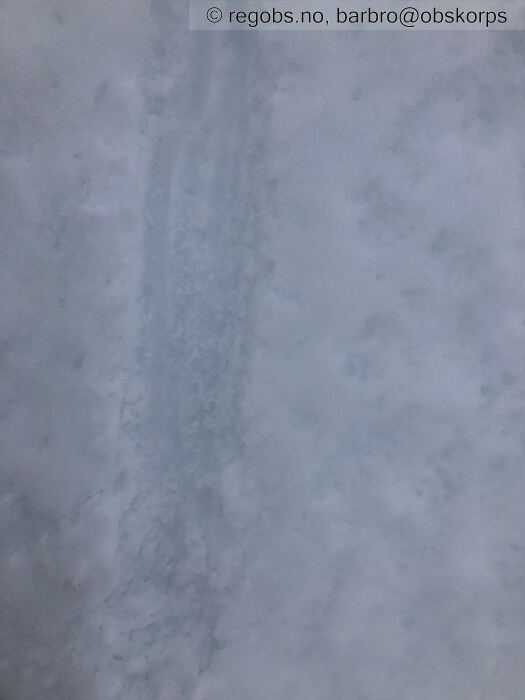
Image 12 of 13 Of: Snow Cover Copyright: barbro@obskorps Comment: 550moh: Snødekket er vått også her.
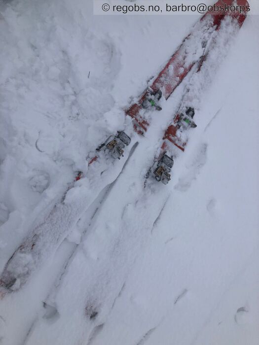
Image 13 of 13 Of: Snow Cover Copyright: barbro@obskorps Comment: 740moh: Rask nedføyking av skiene.
Danger Sign
• Much water in the snow • Lett regn siler ned, men foreløpig lite bevegelse i snødekket i bratte heng.
Avalanche Activity
• 17. Mar. During the day (+01:00) • No avalanche activity • Par-tre små våte løssnøøskred halvvegs ned Botntinden, men kan ikke se om disse er fra siste døgn.
Weather
• Snow • 0 °C • 8 m/s from SW ↗ • 100% clouds • Regn opp til 550moh, sludd 550-650moh, snøbyge fra 650moh (kram snø).
Snow Cover
• Some snow drift • Elevation of new snow 600 masl. Snow line at 0 masl. Layered snow begins at 700 masl • Storm slab (soft slab) • Moist • Nysnø siste døgn varierer med høyde over havet. Total snødybde varierer også. Bærende snødekke både under og over tregrensa. Under tregrensa cirka 1 meter+ snødekke som består av våte smelteformer med ulik hardhet og tykkelse. Fra tregrensa øverst tynt lag med våt løssnø over is-skaredekke, andre steder bare is-skaredekke. Nedenfor lag med fuktige smelteformer. Fra 550moh består snødekket øverst av gradvis tykkere og tørrere vindpakket mykt snødekke. Dog snøen er fortsatt kram ved 740moh. Nedenfor et relativt hardt snødekke som består av smelteformer (P/K). Lett snøfokk i kastene på 740moh, men antar moderat snøfokk fra 800moh.
Tests
• ECTN4@20cm(Q3) • Good • Kram snø, snøpartikler er i stor grad nedbrutt når de treffer bakken. Dårlig forplantningsevne. Antar mer potent snødekke fra 900-1000moh.
Avalanche Problems
• Dry slab avalanche • Buried weak layer of new snow • Within half a meter • The collapsing weak layer is thin < 3 cm. • Difficult to trigger • 1 - Small • Few steep slopes N, NE, E, SE, NW above 800 masl
• Loose wet avalanche • Loose snow • Easy to trigger • 1 - Small • Few steep slopes N, NE, E, SE, S, SW, W, NW below 700 masl
Avalanche Danger Assessment
• Det er foreløpig ikke tilstrekkelig med nysnø til å rettferdiggjøre FG2. Men i løpet av dagen/natten antas det at snømengder rettferdiggjør FG2. • Med fortsatt snøfall antas det str.2 skred i høyden i morgen, og dermed FG2. • 1 Low • Forecast too high

