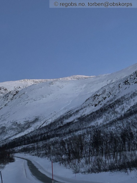
Image 1 of 14 Of: Weather Copyright: torben@obskorps Comment: Mot langfjellaksla
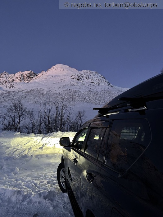
Image 2 of 14 Of: Weather Copyright: torben@obskorps Comment: Mot 884
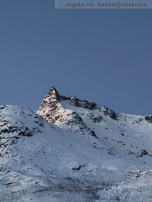
Image 3 of 14 Of: Weather Copyright: torben@obskorps Comment: Djeveltanna
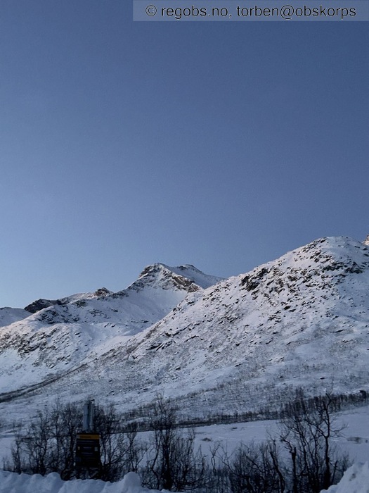
Image 4 of 14 Of: Weather Copyright: torben@obskorps Comment: Mot skittentinden
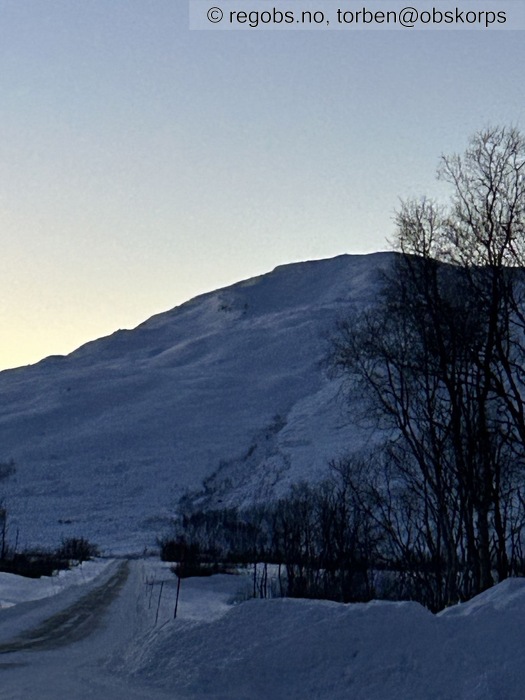
Image 5 of 14 Of: Weather Copyright: torben@obskorps Comment: Mot Tverrfjellet
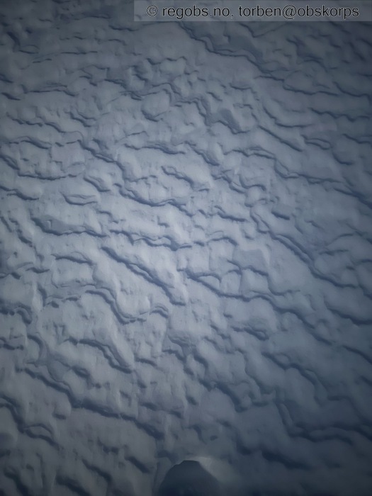
Image 6 of 14 Of: Snow Cover Copyright: torben@obskorps Comment: Vindens signatur
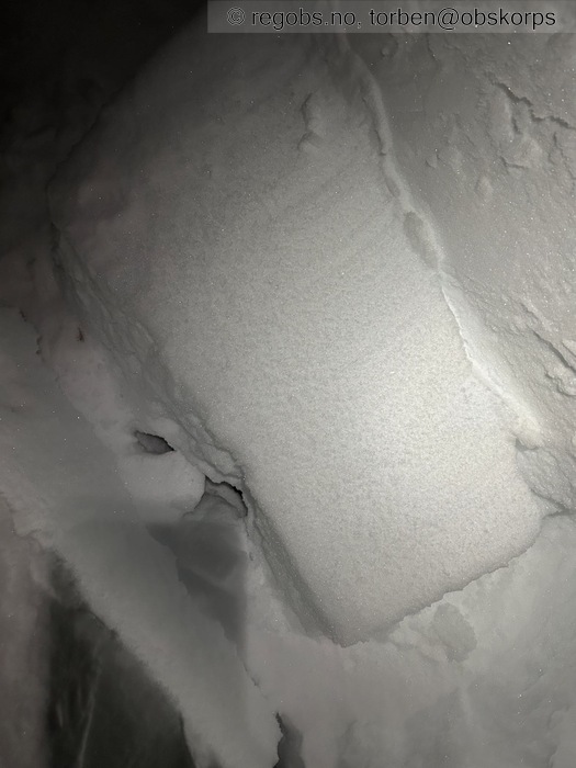
Image 7 of 14 Of: Tests Copyright: torben@obskorps Comment: Ect
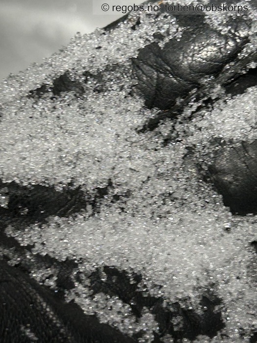
Image 8 of 14 Of: Tests Copyright: torben@obskorps Comment: Kantkorn
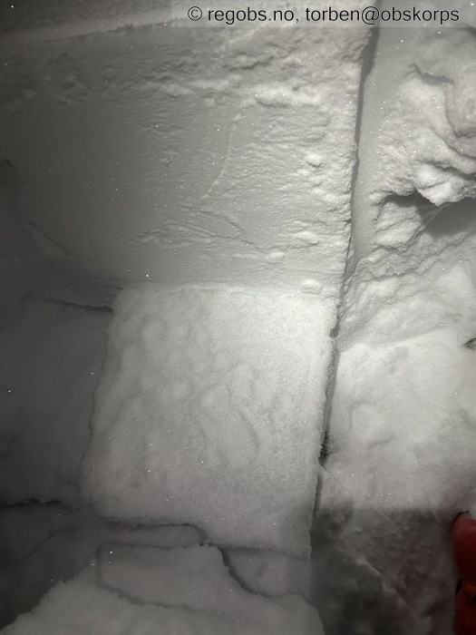
Image 9 of 14 Of: Tests Copyright: torben@obskorps Comment: LBT ga samme utslag.
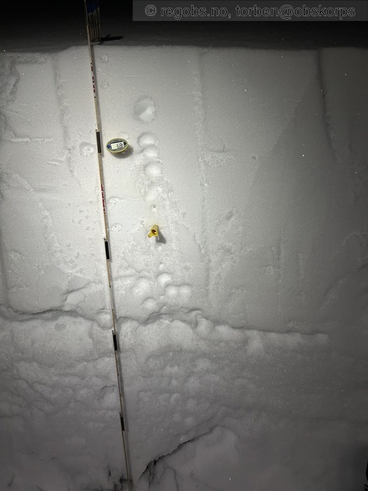
Image 10 of 14 Of: Snow Profile Copyright: torben@obskorps
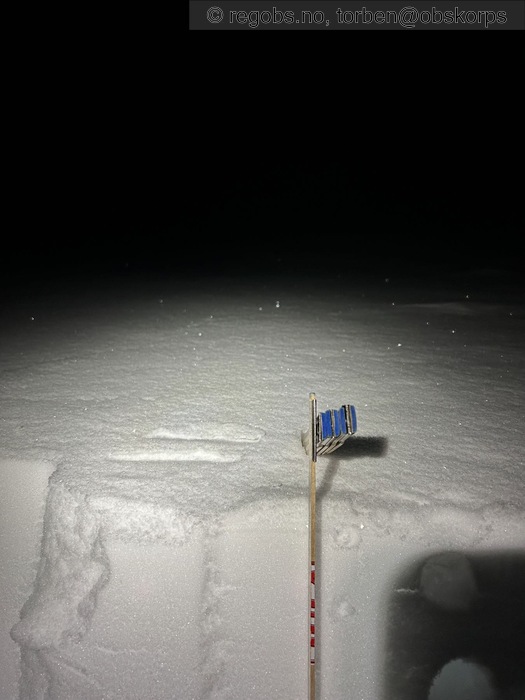
Image 11 of 14 Of: Snow Profile Copyright: torben@obskorps
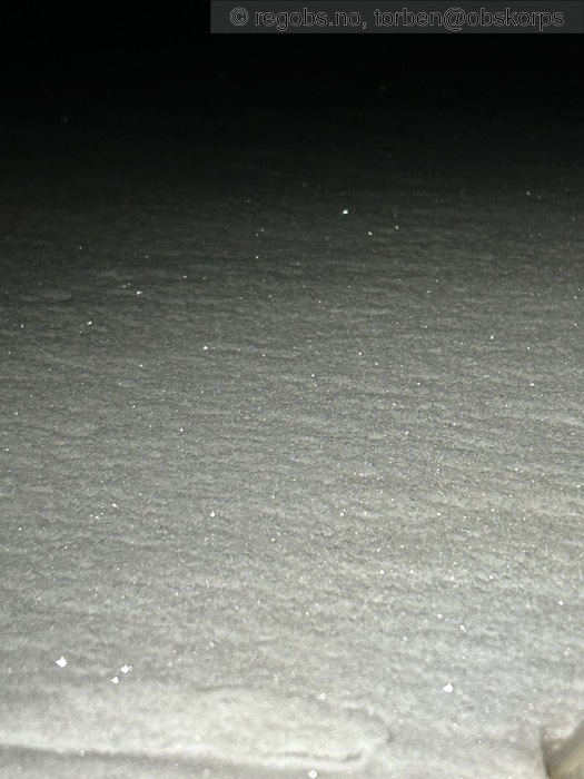
Image 12 of 14 Of: Snow Profile Copyright: torben@obskorps Comment: Rim på topp
Image 13 of 14 Of: Notes Copyright: torben@obskorps
Image 14 of 14 Of: Notes Copyright: torben@obskorps
Danger Sign
• Recent snowdrift • Område: I denne fjellsiden
Avalanche Activity
• 29. Nov. During the day (+01:00) • No avalanche activity • Mørkt. Så vanskelig å få oversikt.
Weather
• No precipitation • -5.3 °C • 6 m/s from NE ↙ • Stille å klart værbitt starten. ( det var -3 grader ved parkering). Fra ca 350-400moh begynte vinden å tilta, og var slik helt opp til obs plass
Snow Cover
• 95 cm • No snowdrift • 0 cm • Elevation of new snow 0 masl. Snow line at 0 masl • Storm slab (soft slab) • Dry • Ok • Fra parkering og over vannet generelt løs fin snø. Fra ca 200 moh er snødekket tidvis 4F-1F hard. Avhengig av hvordan vinden har blåst og påvirket snødekket. Fra ca300-350moh begynner det med tidvis og enkeltvis bærende fokksnø (Pencil). Der denne sprekker opp, glir flaka relativt lett ut tidvis. Gjorde noen LBT og hurtigtester fra dette området. Alle bekreftet kantkorn i snødekket. Var litt variererende hvor "hissig" det var. Fra ca 400moh og opp er snødekket varierende. Fra bærende fokksnø til 4F innrøyka fokksnø. Det er endel Stein som stikker fram
Tests
• ECTN6@10cm • Poor • Gikk til brudd på nedføyka nysnø.
• ECTP18@51cm(Q2) • Poor • På kantkorn over skare
Snow Profile
• SW • 20° • Leheng • Persistent weak layer: thin layer, below slab, near surface • 9 temperature points observed
Avalanche Problems
• Dry slab avalanche • Buried weak layer of new snow • Within half a meter • The weak layer collapses easily and clean (easy propagation). The collapsing weak layer is thin < 3 cm. The overlying slab is soft. • Easy to trigger • 2 - Medium • Some steep slopes E, SE, S, SW, W above 300 masl
• Dry slab avalanche • Buried weak layer of faceted snow above a crust • Within a meter • The weak layer collapses easily and clean (easy propagation). The collapsing weak layer is thin < 3 cm. A big and identifiable crystal in the weak layer. • Easy to trigger • 3 - Large • Some steep slopes N, NE, E, SE, S, SW, W, NW above 300 masl • Tenker kantkorn problemet er nå i alle sektorer
Tror og at der dette evt trigges kan det komme opp i str 3 skred på noen isolerte plasser !!!!
Avalanche Danger Assessment
• Fortsatt utfordrende forhold i fjellet. Men virker som at fokksnøen stabiliserer seg sakte. Det er "hissig" kantkorn i snødekket, men dette er stedvis "begravd" relativt dypt, så vanskelig å aktivisere. ....men der snødekket er tynt er det absolutt mulig å "trigge" dette. Så vær obs der snødekket er tynt og mykt. Selv om drønn og/eller skytende sprekker uteblir er ikke dette tegn på at snødekket er stabilt !! • Det er meldt litt mildere neste dager. Dette er gunstig for snødekket. Men fra søndag blir det kaldere og ikke noe nedbør. Dette gir dessverre mulighet for gode vekstforhold til kantkornet. Så dette må følges nøye med på. • 3 Considerable • Varsom har ikke satt FG. Mulig at det er en FG 2 (sterk) men pga usikkerhet på mulig skredstørrelse og varierende snømengde gir matrisen FG 3. 🤨
Notes
• Utrolig flott i em/ kveld på kattfjordeidet. Et fantastisk lys og nesten alene. Kunne se 2 lykter på Tverrfjellet

